GIS Professional Services
THE SKYTEC DIFFERENCE
Industry Expertise
Skytec brings decades of combined GIS and remote sensing experience to our clients. We provide complete project design, implementation, and management services that include data acquisition, analysis, and informing our clients through custom solutions.

Cutting-edge Technology
Innovation is at the heart of our business. We pride ourselves in our ability to leverage emerging geospatial and analytical technologies to realize measured success and value for our clients.
Learn More
Strategic Partnership
Access a depth of resources and expertise through our networks of industry leaders in GIS, remote sensing, and AI technologies.
Learn MoreEsri Specialty Badges
ArcGIS Marketplace Provider
Skytec is proud to hold the Esri ArcGIS Marketplace Specialty badge, a recognition of our commitment to offering high-quality geospatial solutions. This designation underscores our alignment with Esri's rigorous standards and showcases our expertise in developing and providing top-tier applications, tools, and data products for the ArcGIS community. When you choose Skytec, you're partnering with a recognized leader in the geospatial industry, dedicated to delivering excellence on the trusted ArcGIS platform.
ArcGIS System Ready
This distinction recognizes Skytec's dedication to consistently adopting and seamlessly integrating new ArcGIS software releases into our diverse range of solutions, services, and content. We not only ensure our offerings are at the cutting edge of the ArcGIS ecosystem, but we also actively apply best practices and provide a structured approach to help our clients transition to new ArcGIS software releases. When partnering with Skytec, you are aligning with a recognized leader dedicated to leveraging the full potential of the ArcGIS suite.
Nonprofit Specialty
In April 2022, Skytec became a member of the Esri Nonprofit Specialty, demonstrating expertise in delivering services and solutions to organizations within Esri’s Nonprofit Organization Program. The Esri Nonprofit Organization Program provides nonprofit organizations with special, low-cost access to Esri’s GIS software, tools, and resources to help support their missions.
Unlock the full potential of your GIS data with high-value solutions from Skytec.
Manage vast resources. Plan smarter cities. Ensure sustainable supply chains. No matter your goal or task, Skytec delivers tailored solutions that allow organizations to make data-driven decisions, optimize operational efficiency, and realize significant ROI.
Visualize, analyze, and interpret data to reveal patterns, trends, and relationships. Facilitate decision-making processes, enhance communication and collaboration, and connect with audiences or the public.
Safely upgrade or change systems without worrying about data loss. We transfer GIS data between formats or systems without interruption or loss of data. We use automated processes and rigorous quality checks to preserve data integrity during the migration process.
Optimize management and use of GIS data. We develop robust, flexible data models that suit your unique needs. With optimal data structure, clients can better store, retrieve, and analyze data.
Define your organization’s geospatial vision. Identify opportunities for improvement. Devise strategic roadmaps for GIS implementation. Skytec takes into account your business objectives, technological capacity, and budget to ensure an effective GIS strategy.
Access secure, scalable, and reliable cloud-based hosting solutions for GIS data and applications. Focus on your core operations while enjoying the benefits of high uptime, performance, and accessibility.
Skytec ensures successful GIS deployments and handles every aspect of implementation, including system configuration, data migration, software installation, and user testing. Mitigate risks and quickly reap the benefits of your GIS investments with this turnkey service.
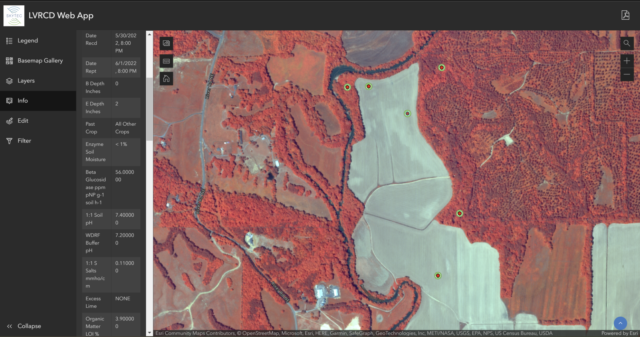
To meet the needs and requirements of diverse clientele, Skytec analyzes your business processes, operational challenges, and technological capabilities to provide customized GIS solutions to meet your needs.
Integrate GIS with other business systems to enhance data interoperability, process automation, and overall organizational efficiency.
Empower your team with the skills and knowledge for effective, self-sufficient GIS operations. Skytec trains your staff to use GIS tools and interpret GIS data to maximize your GIS investments.