News
How Skytec builds geospatial apps & services using Picterra
Overview
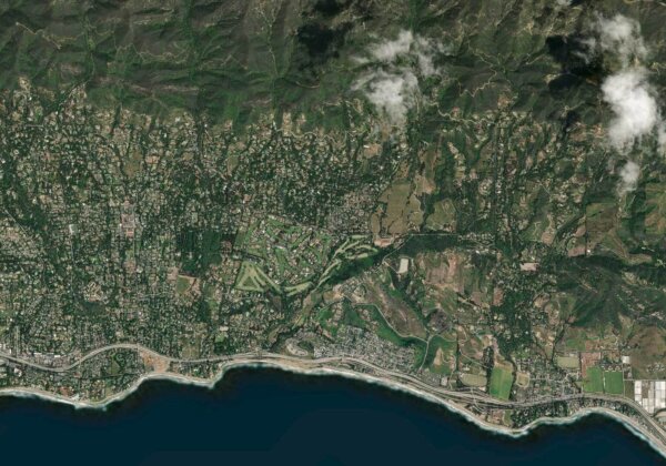
Larger organizations and governments are increasingly making big investments in geospatial data and technology. But how do they ensure they are getting value from these expenditures by infusing recent innovative advancements, such as high-resolution daily satellite feeds and machine learning?
We recently sat down with Skytec, one of our clients, to learn more about how they are enriching their geospatial services with machine learning. Focused on geospatial technology and the future of forestry management, the discussion was also an opportunity for Andy Carroll, CTO & Co-Founder of Skytec, to delve into how Picterra answers this question.
Skytec News
SaaS Imagery Solution Helps Conservation Startup Detect Change Faster
To help care for and protect natural resources, including land, water, and wildlife, Esri partner Skytec employs unmanned aerial systems (UAS), remote sensing, and GIS technology. In 2019, around the same time the small startup graduated from the Esri Startup program, Skytec developed Ranger, an app for detecting whether high-priority areas are undergoing significant change, such as shrinking or disappearing.
Read More
BlackSky Customer Skytec Demonstrates Seamless Integration of Dynamic Monitoring Data Through Esri ArcGIS Online
Skytec users now have easy, on-demand tasking access to BlackSky’s hourly, high resolution satellite imagery for natural resource management
Read More
From Pixels to Polygons to People
Esri, Skytec, and Open Space Institute understand the value of the geographic approach for land trusts and local conservation
Read More