News
Chattanooga Area Chamber of Commerce Recognizes Skytec with 2020 Sustainability Award
On September 17, 2020, the Chattanooga Area Chamber of Commerce recognized Skytec for its ongoing commitment to sustainability. As the winner of the Sustainability Award, Skytec, a Chamber member, encourages sound environmental preservation actions and practices as a business and through its client services.
*Note: Watch Skytec's feature in the awards ceremony video starting at 28:41.
Skytec, founded in 2015, is a leader in remote sensing and geographic information systems (GIS) technologies and provides the full spectrum of image and data capturing, with unmanned aerial systems (UAS), manned aircraft, and satellite imaging. The team delivers dynamic imaging and data science solutions, enabling companies to measure and optimize sustainability practices.
“I’ve spent most of my professional career in sustainability, and it’s exciting to see Skytec recognized for the work we’re doing in that realm,” says Andy Carroll, CTO of Skytec. “So many of our projects enable us to help businesses monitor and manage their environmental impact.”
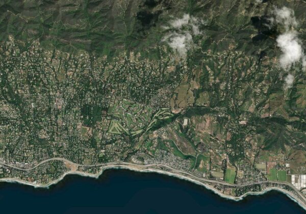
From stream and wetland mitigation projects to its recent tornado impact index and ForestView, an application built for International Paper, Skytec provides services that enable clients to reach their objectives — and sustainability is often at the core of those goals.
“I’ve been genuinely excited that we can use these dynamic tools to preserve natural resources,” says Bill Rogers, CEO of Skytec. “We’re able to measure and gather data to help companies be more sustainable and chart the path forward in protecting our natural resources. Companies are increasingly interested in sustainable investments — there is a return on these initiatives.”
Read more about Skytec’s capabilities and past projects on our blog.
Skytec News
SaaS Imagery Solution Helps Conservation Startup Detect Change Faster
To help care for and protect natural resources, including land, water, and wildlife, Esri partner Skytec employs unmanned aerial systems (UAS), remote sensing, and GIS technology. In 2019, around the same time the small startup graduated from the Esri Startup program, Skytec developed Ranger, an app for detecting whether high-priority areas are undergoing significant change, such as shrinking or disappearing.
Read More
BlackSky Customer Skytec Demonstrates Seamless Integration of Dynamic Monitoring Data Through Esri ArcGIS Online
Skytec users now have easy, on-demand tasking access to BlackSky’s hourly, high resolution satellite imagery for natural resource management
Read More
From Pixels to Polygons to People
Esri, Skytec, and Open Space Institute understand the value of the geographic approach for land trusts and local conservation
Read More